Just a couple quick announcements before the main course: I have a new album out: Cedar Grove Soundwalk is available on all music streaming services today, May 22, 2026.
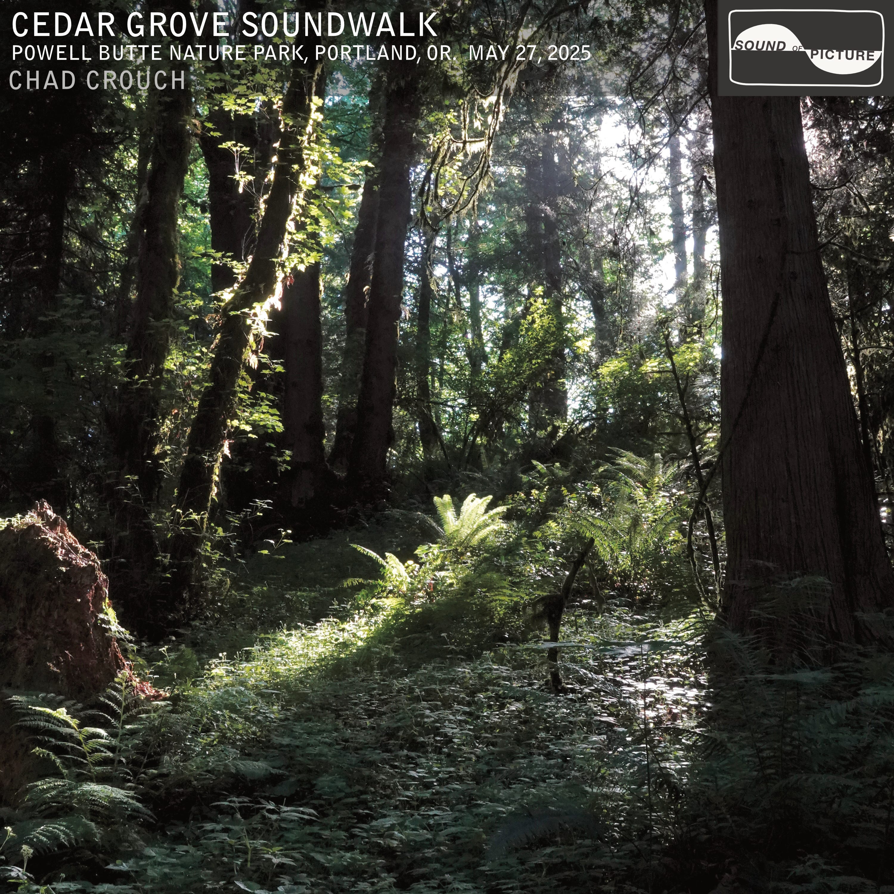
This was recorded on the wooded west slope of Powell Butte, here in Portland, Oregon, USA. I have more to say about it, but perhaps I’ll save it for a whole East Buttes series down the road. Also, “Swainson’s Thrush Meditation”, is my first single release in many years. If you haven’t checked that out, please do wherever music streams. Lastly a gentle reminder that my first-ever vinyl LP Wildwood Trail Soundwalk is hot off the presses, and shipping now, over a month before the streaming release, Jun 26th. Early bird 20% off price is still on offer through May! Now, on to today’s program…
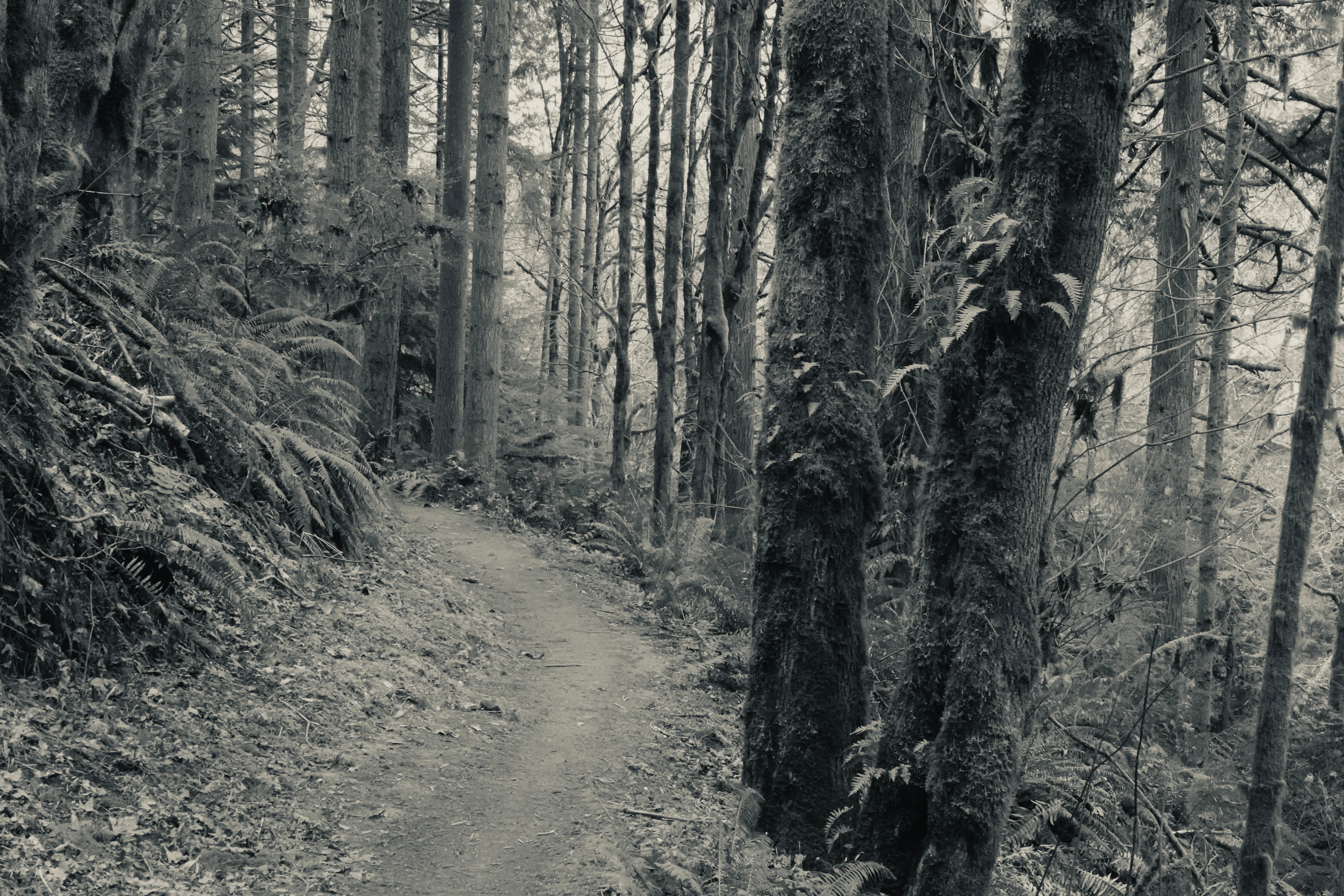
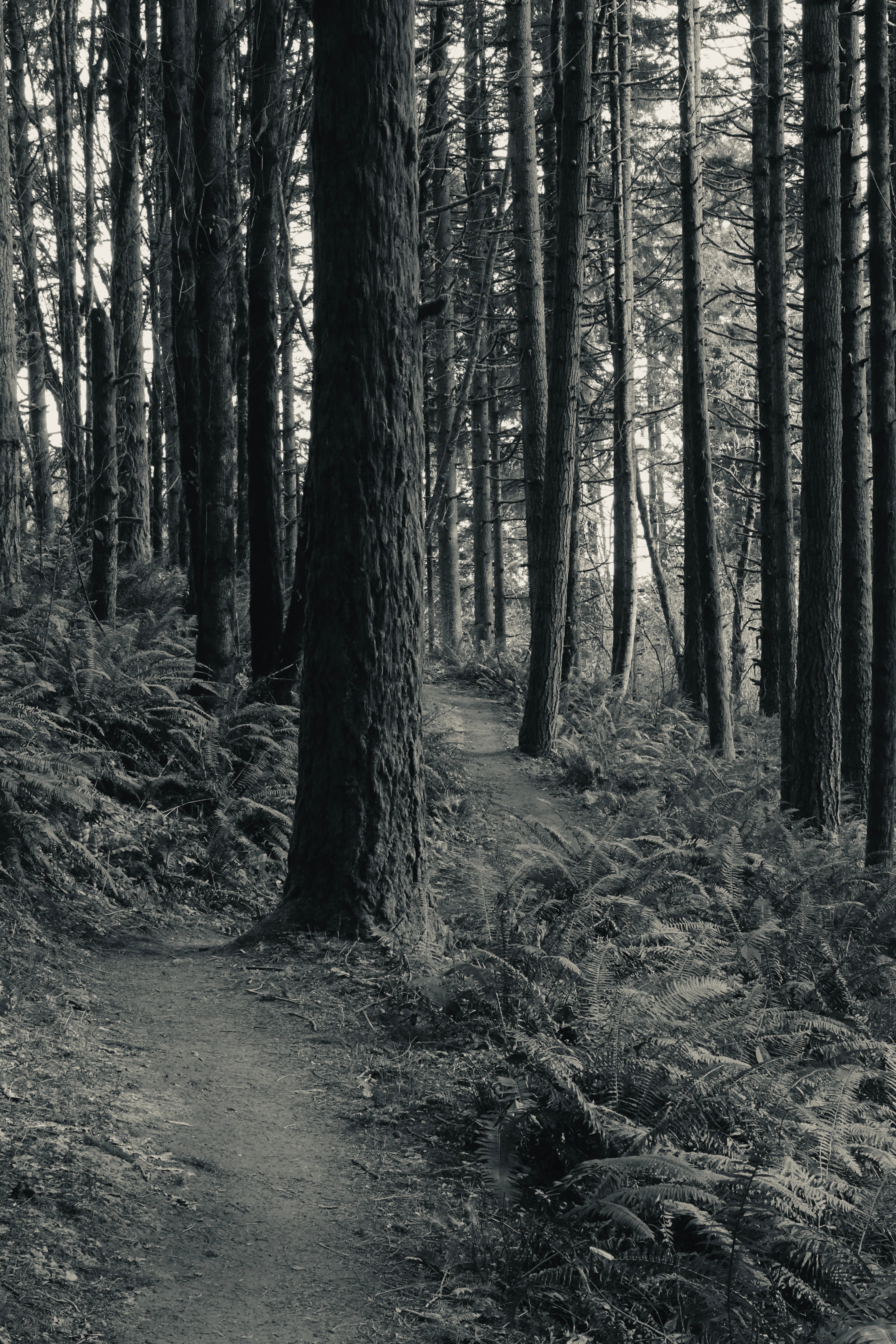
This is an in-depth 10-part soundwalk series on the 30-mile Wildwood Trail in Portland’s Forest Park. Parts 1, 2, 3, 4, & 5 span Washington Park trailhead north to Ridge Trail. Feel free to press play below for the soundwalk environmental sound as we head further north!
The hills I’ve been walking through has a name most Portlanders don’t use. Not the West Hills. The Tualatin Mountains. It first appeared on a U.S. survey map in 1855, borrowed from the Tualatin tribe who, as a 1957 Oregonian writer noted in an off-hand, very mid-century way, “weren’t using it at the moment.” Tualatin means lazy, or sluggish; the character of the river that drains the range to the south. This is not a lazy range. Thirty-five miles long, covering 200 square miles, rising to over 1,600 feet, it separates the Willamette Valley from the Tualatin Valley in a series of steep ravines and forested ridge lines.
That same writer observed that few cities could claim a wilderness within their limits “where cougars roam at will, making headlines at happy intervals, where full-scale logging operations have been conducted…and big-time forest fires have raged in full view from the city’s main streets.”

Cougars still roam; though a doorbell camera at a nearby home might have a better chance of glimpsing one than the park visitor. Logging ceased in the 70’s. And while fires seem a distant memory, the risk is now greater than ever.
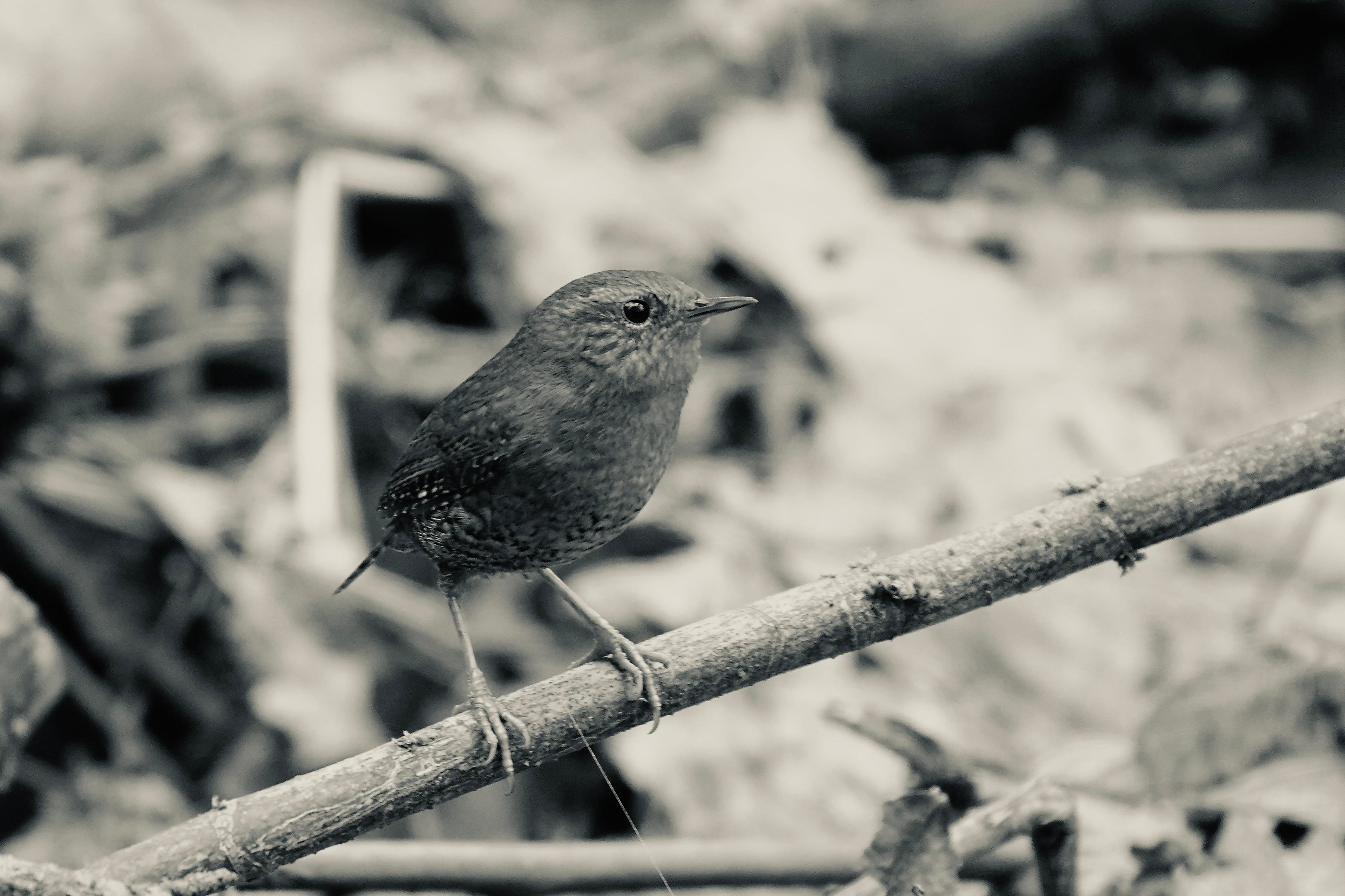
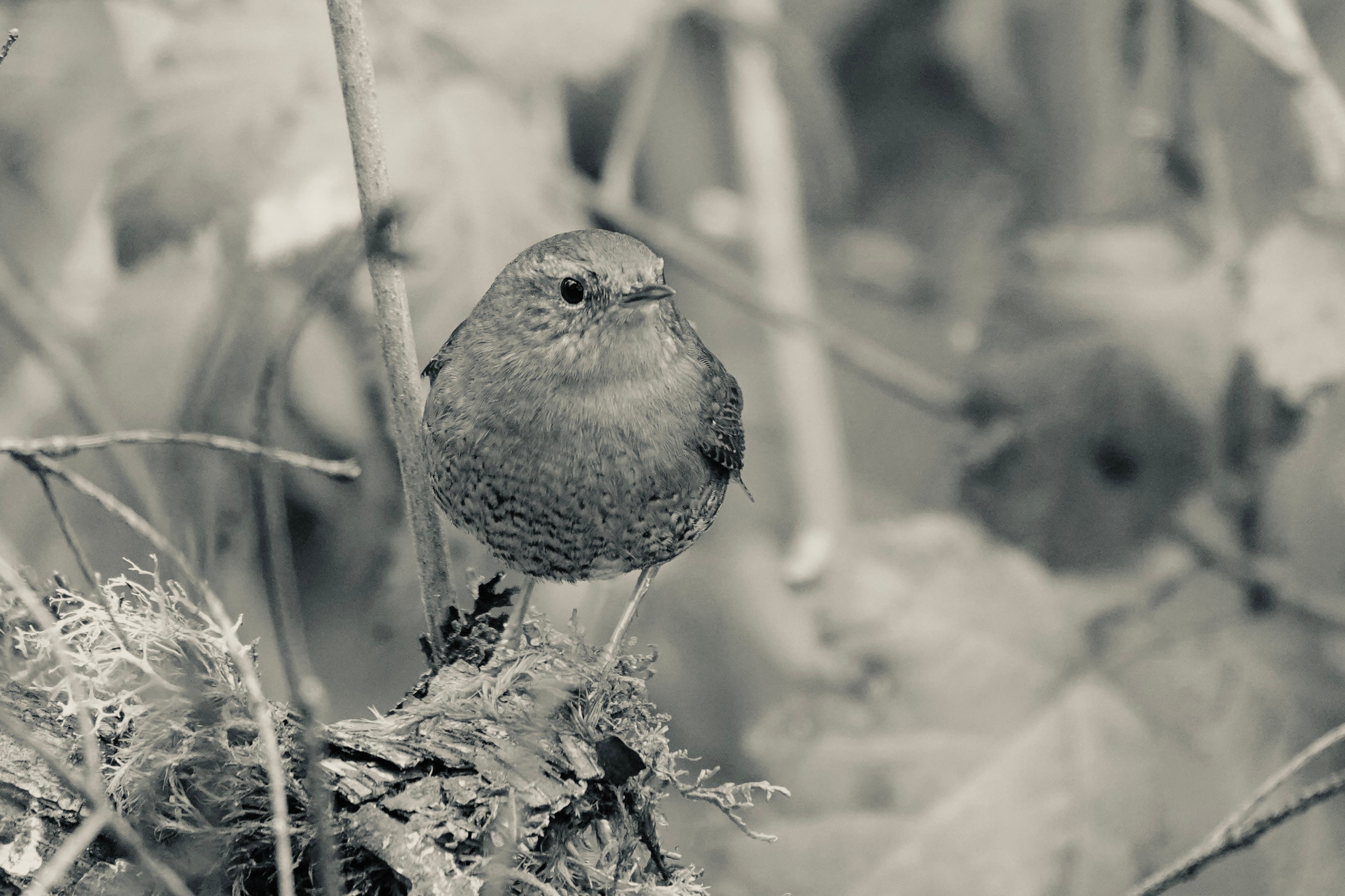
North of Saltzman Road, that character is on display. The trail drops into Doane Creek Canyon and the sounds change: water in the ravine below, birds in the alder canopy, not much else. The neighborhoods have fallen away. This is the interior.
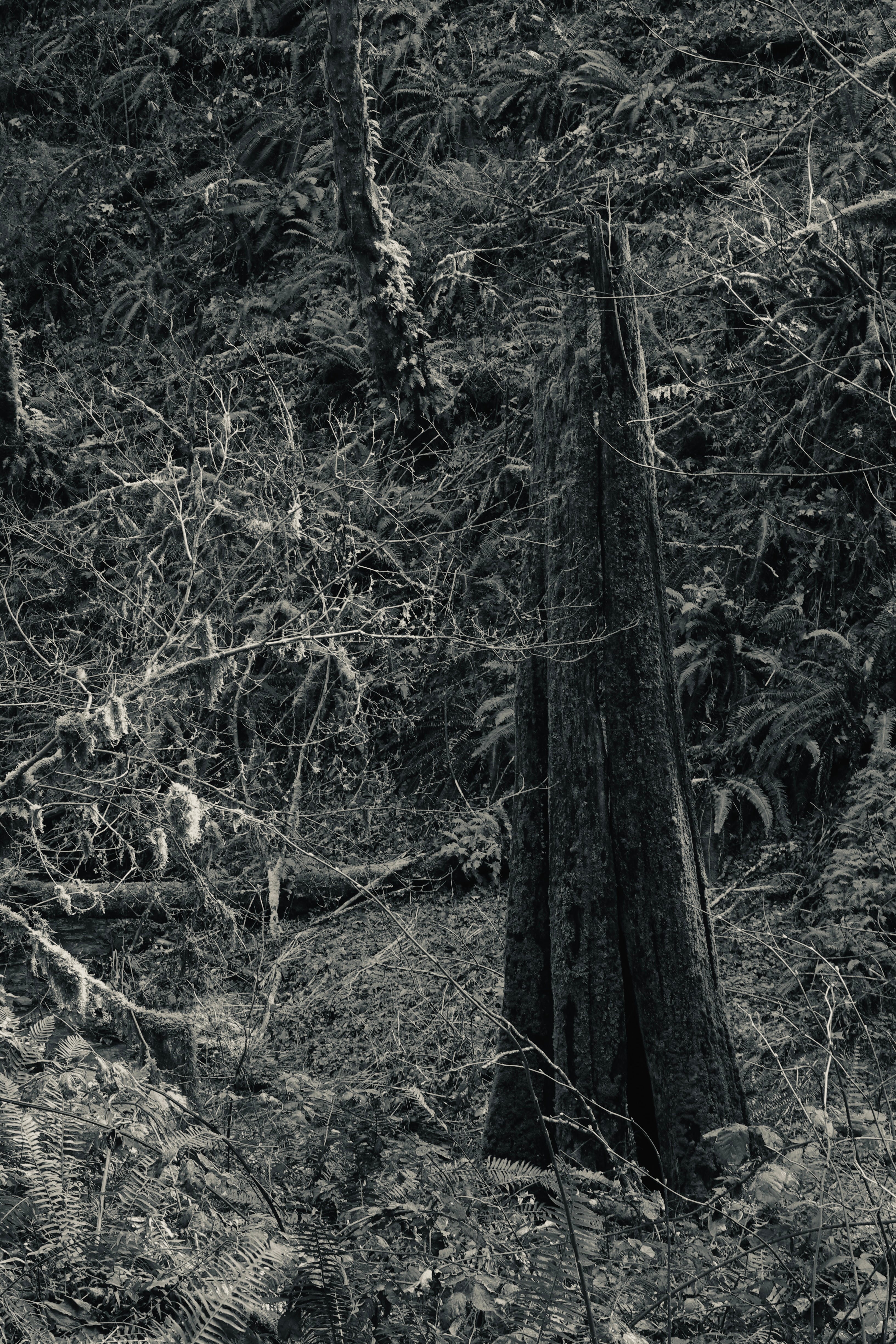
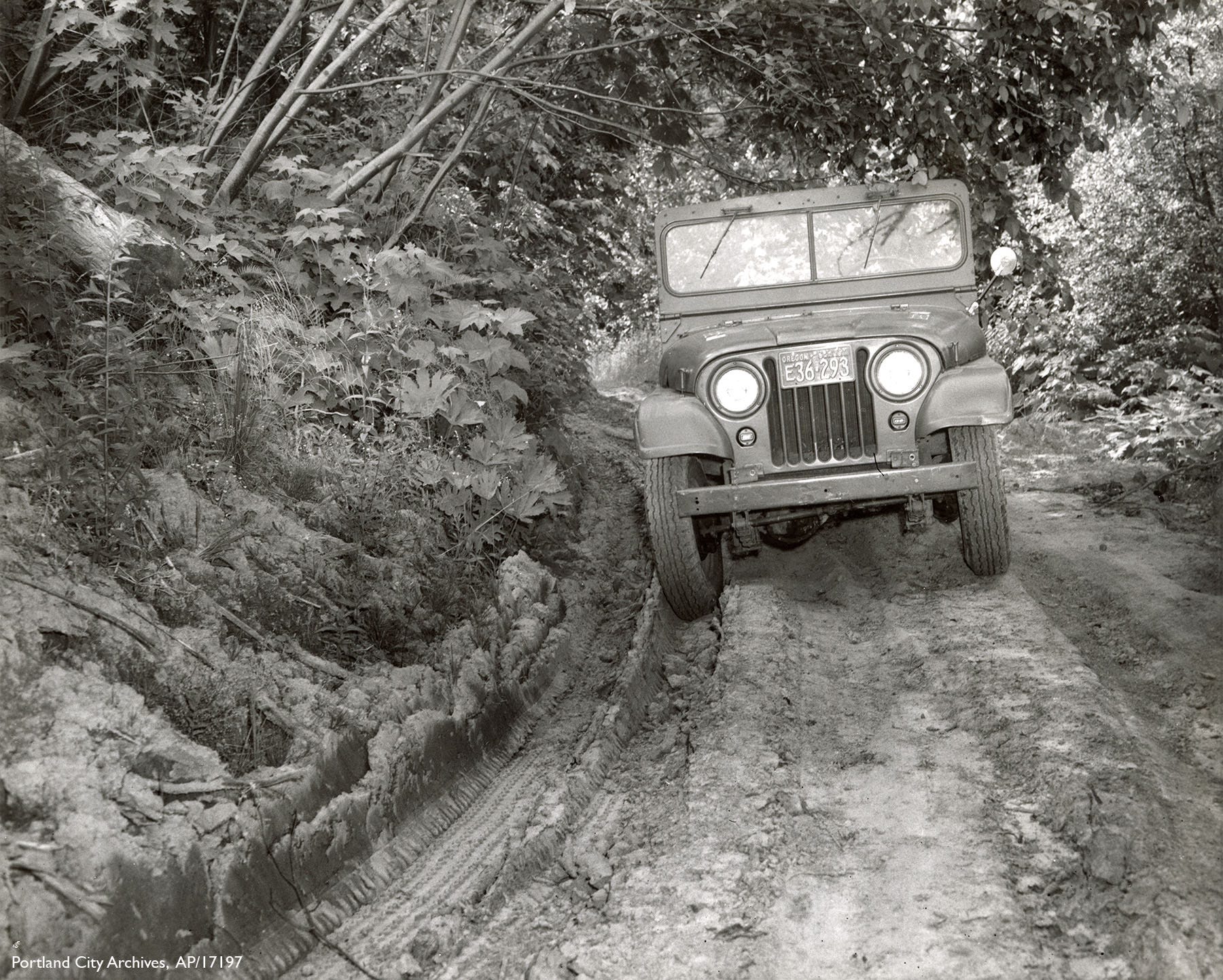
The oldest layer visible in this landscape is the logging. On the largest stumps near the trail, rectangular grooves have been chopped into the wood at roughly chest height. These are springboard notches. A logger would fit a board into the notch, stand on it, and work from that platform rather than from the ground, cutting above the widened base of the trunk where the wood was cleaner. The loggers who made these cuts worked this hillside in the late 19th or early 20th century. The stumps are still here, slowly returning to the soil.


Fire came after the logging. A 1940 burn scorched hillsides south of Saltzman. The 1951 Bonny Slope fire was worse. It burned 1,600 acres on a hot August night, started by smoldering campfires in the wooded canyons near the St. John’s Bridge. A U.S. Forest Service researcher named William Morris watched it all Sunday night. At 10:30pm a spot fire appeared fifty feet from his observation post. By 11pm the wind had driven it to the viewpoint ridge. Standing trees crackled. The fire-scarred snags still standing in this section are what remains of that night.
Beginning in 1944, the mountain-climbing outdoor group known as The Mazamas ran a tree-planting campaign they called the Mazama Forest, cutting the Hardesty Trail to access the burned interior on the north end of the fire’s reach. By 1948 they had planted roughly 9,000 small trees across the park and built or improved six miles of trail. In March of that year they held their own dedication ceremony on a burned-over section overlooking the Doane Creek Canyon called Presidents Ridge. The younger, even-aged Douglas-firs growing through parts of this section owe something to that effort. They are now in their early eighties.
The 1951 fire had one lasting administrative consequence: fifteen fire lanes were cut broadly across the slope in the early 1950s, perpendicular to the hillside like rungs on a ladder.
Firelanes 5, 7, and 7A cross this leg of the trail. Colloquially, Firelanes 7 and 7A are called Oil Line Road and Gas Line Road — public utility easements for pipelines installed in 1956. The infrastructure of extraction runs beneath the wilderness. You’d never know it walking above.
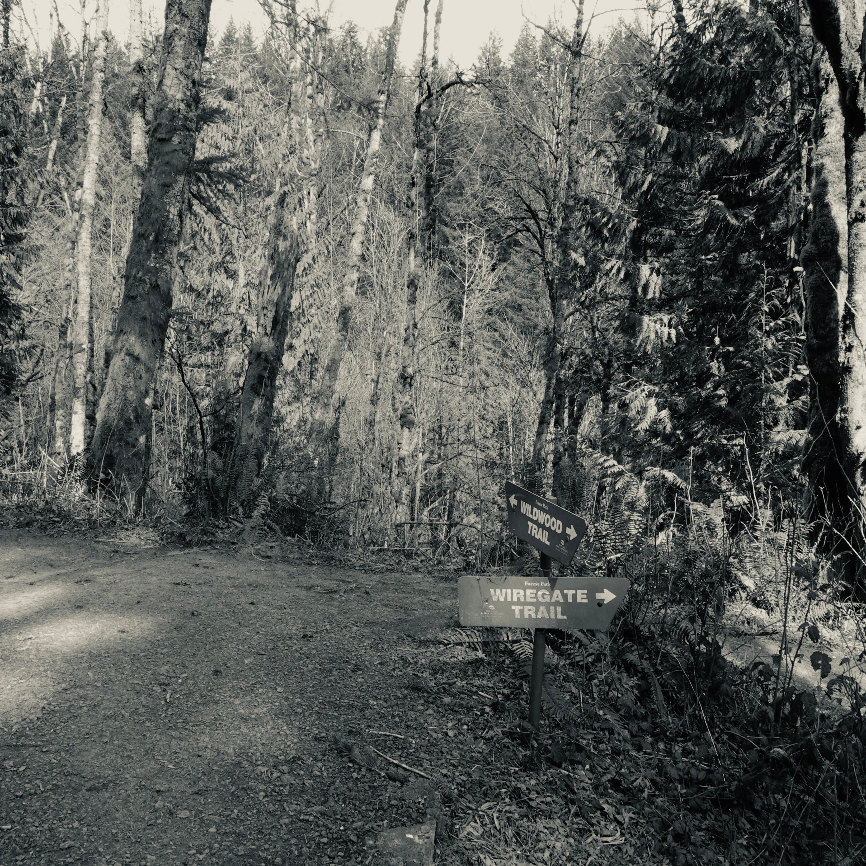
One of the smaller trails branching off in this section carries a name that arrived by accident. Wiregate Trail was named by a park employee clearing storm debris, who found an old wire gate lying in the middle of the path — miles from any fence. Nobody knew where it came from.