


Feel free click the play button up there and settle in. This is a in-depth, multi-part Sound & Vision series on the Wildwood Trail in Portland, Oregon. There are two parts to this post: a historic timeline of Forest Park (home to the Wildwood Trail), and Part 2 of the 30-mile hike, documented with monochrome photographs and binaural audio, extending from W. Burnside St. to the “Witch’s Castle”. Find Part 1 and an introduction here.
Forest Park Timeline
Let’s get to know this 5200 acre hillside woodland, taking a look back through time.
Pre-1800s: Native American settlement of the area now known as Forest Park is believed to date back as far as 10,000 years. There were two trails that crossed over the Tualatin Hills in what we now called Forest Park, connecting Sauvie Island with the Upper Tualatin Valley. Originally Native American paths, they were developed into primitive roads by early settlers.
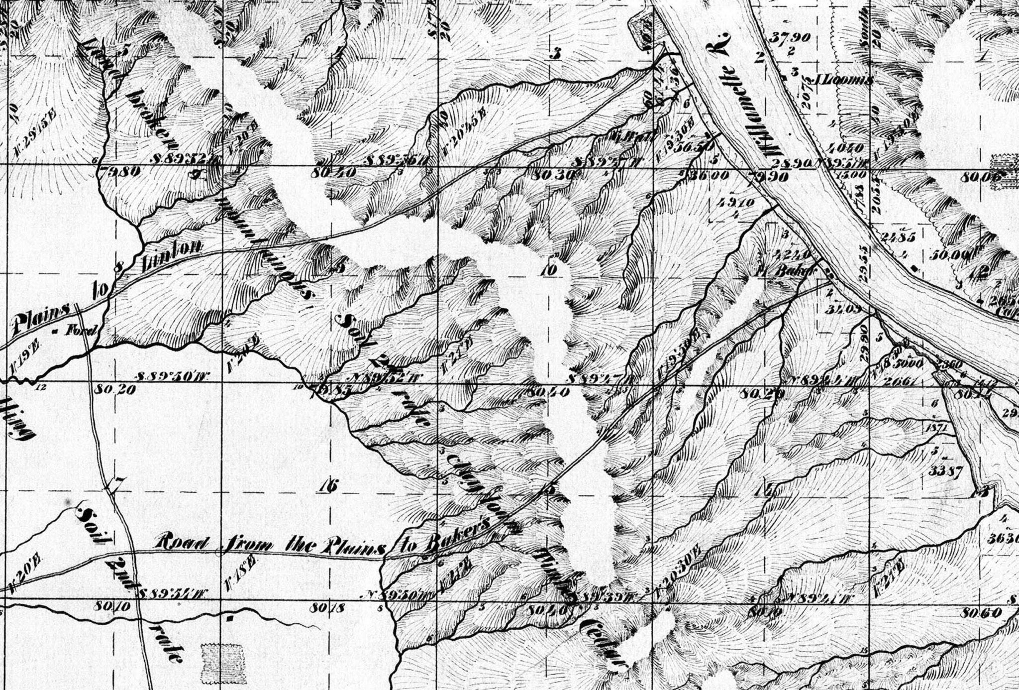
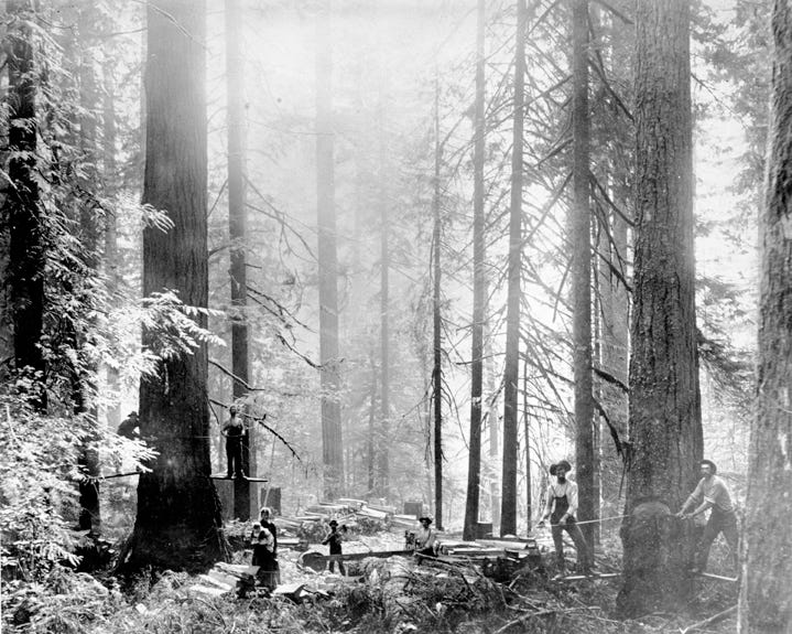
1851: Under the Donation Land Act, settlers claim land in the area, leading to deforestation and subsequent landslides that rendered the land unsuitable for development.
1867: Reverend Thomas Lamb Eliot moves to Portland and begins advocating for the preservation of the wooded hills that would become Forest Park.
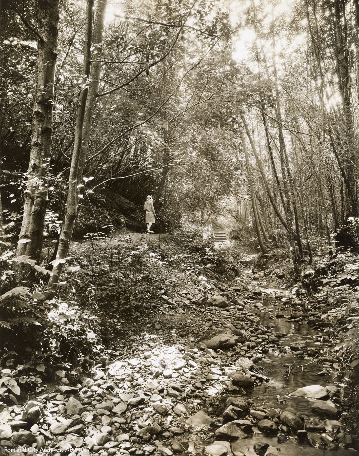
1897: Donald Macleay deeds 108 acres along Balch Creek to the city, providing outdoor space for nearby hospital patients, and inspiring the concept of a forested park in the west hills.
1903: The Olmsted Brothers landscape architecture firm recommends creating a wildland park in Portland's wooded hills, laying the groundwork for Forest Park.
1915: Hillside Drive—renamed Leif Erikson Drive in the 1933—is constructed, traversing the East side of the Tualatin Mountains in an effort to bring residential development to the hills.
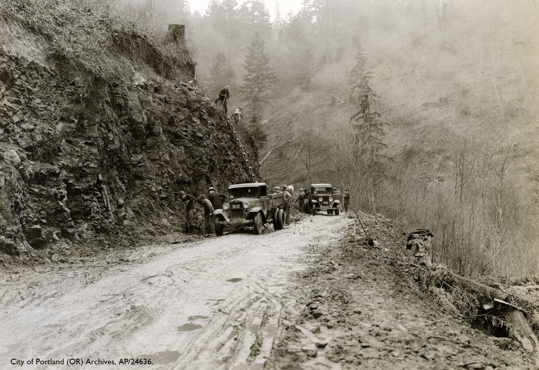
1920’s Construction and maintenance of Hillside Drive proves to be costly, causing the city to increase the assessed value of the platted lots nearby. Developers were not able to sell their lots, and buyers were reluctant to build. Hundreds of acres of land along Hillside Road were turned over to the City of Portland due to unpaid taxes.
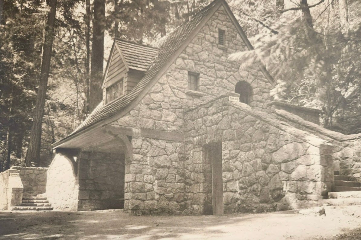
1928-1930: The City Council's Delinquent Tax Committee transfers land to the Parks Bureau for a wildflower garden along Balch Creek. Macleay Park Shelter is completed in Balch Creek Canyon, offering restrooms to visitors. Construction materials were lowered into the remote location in a basket on a “highline”.
August 1940: 1000 acres is burned south of Saltzman Road and east of Skyline.
1944: The mountain climbing group known as The Mazamas develops the Hardesty Trail for a tree planting campaign it calls “The Mazama Forest” in a burned area.
1945: The City Club of Portland conducts a feasibility study, renewing interest in establishing a large park in the city's west side.
The City of Portland leases 2,000 acres to Richfield Oil Company within the proposed park on November 27, 1945. After drilling to 7,885 feet without finding gas or oil, Richfield terminated their leases in September 1946.
September 23, 1948: Portland formally dedicates 4,200 acres as Forest Park, creating one of the largest urban forest reserves in the United States. A commemoration ceremony is held at the site of the exploratory gas well.
1950: The only house with a Leif Ericson Drive address, the 1930 Kitchell residence, is destroyed by fire, near Springville Rd.

1951: A wildfire burns 1200 acres of Forest Park, leading city planners to develop more than 10 fire lanes to address future fire suppression.
1964: The Pittock Estate Tract acquisition connects Washington Park and Hoyt Arboretum with Macleay Park and the bulk of Forest Park to the north, giving rise to a linear trail connecting the parks.
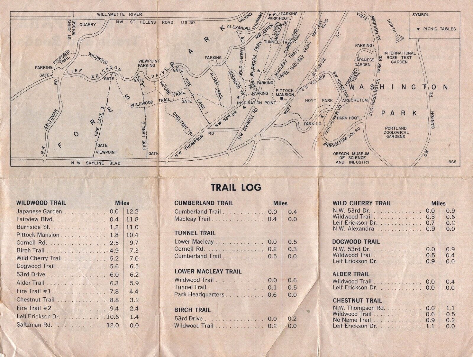
1968: Forest Park has a trail network of about 10 named trails, totaling 17 miles, or more. Leif Ericson Drive is open to vehicles from NW Thurman to Saltzman Road with three trailhead parking areas. The 12 mile Wildwood Trail begins at The Japanese Garden and ends at Saltzman Rd.
July, 1975: The Wildwood Trail is designated a National Recreation Trail by the interior secretary, now 14 miles in length. Purchase of a 52-acre parcel on the north end of the park extends the future vision of a Wildwood Trail terminus at Newberry Road, eventually reaching 30 miles.
December, 1975: Camp Tolinda shelter is destroyed by fire near Germantown Road. Camp Fire Girls summer programs continue at the location for another decade or so. The name lives on today with the development of the Tolinda Trail along the old camp road.
1980s: Wildwood Trail construction continues north to Germantown Road, then to BPA Road with significant volunteer help.
1991: Forest Park has a network of 15 trails with a total of 40 miles, 20 miles of firelanes, and 19 miles of roads. Leif Ericson Drive and Saltzman Road have been closed to vehicles for many years.
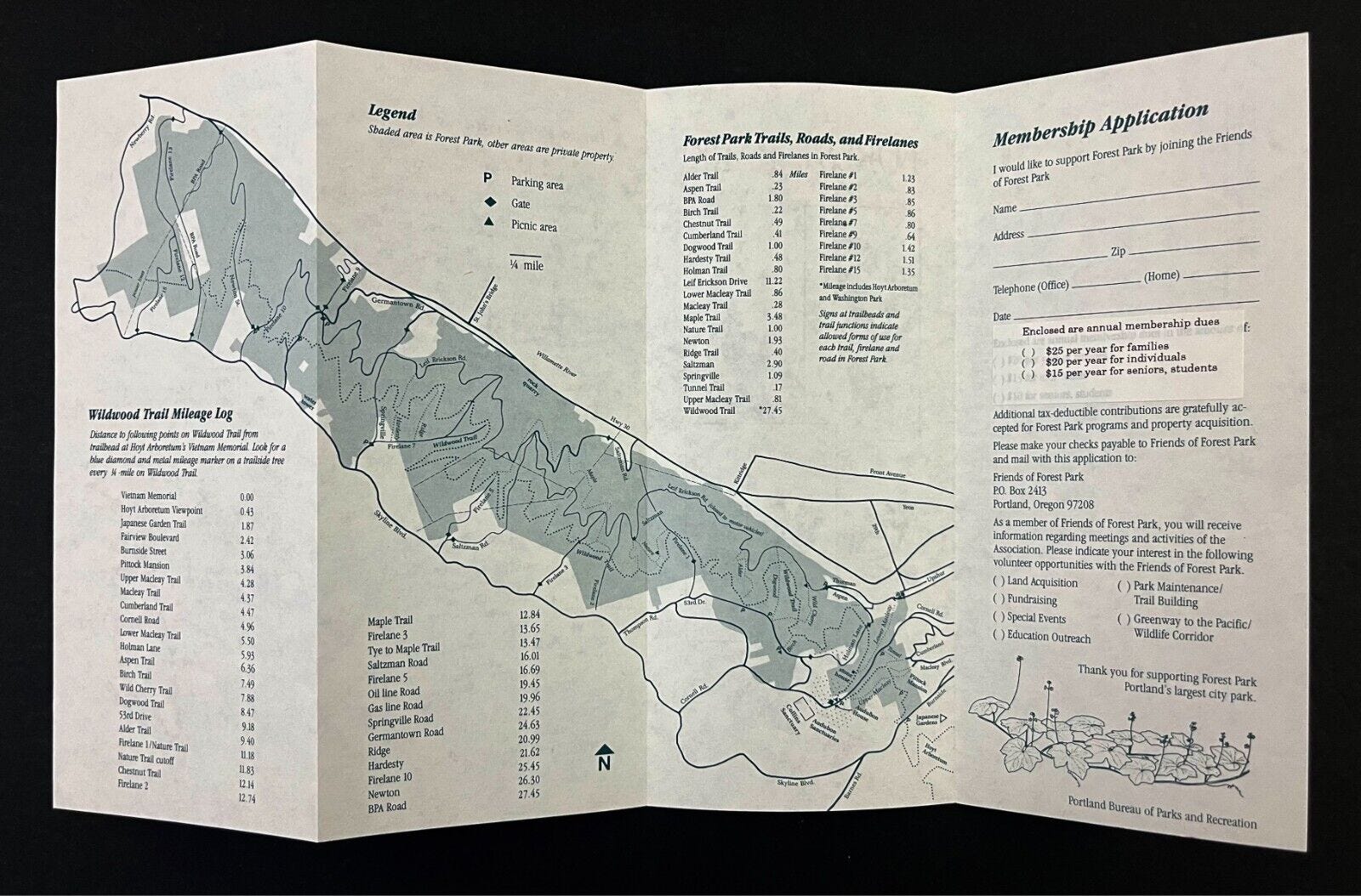
1999: The 30-mile Wildwood Trail is completed for the 50th anniversary of the park, running from W. Burnside Road through Forest Park to its northern terminus at NW Newberry Road.
October, 2019: The Barbara Walker Crossing, the 4 million dollar 180-foot steel footbridge carrying the Wildwood Trail across West Burnside Street, opens.

Early 2024: Forest Park Entrance, a 4.8 million dollar 30-space parking area and bus drop-off at NW St. Helens Rd and Hwy 30 opens. A Nature Center and plaza is shown in a schematic for a future phase of building, estimated to cost 13 million dollars in 2018.
Today, Forest Park encompasses over 5,200 acres, offering more than 80 miles of trails, fire lanes, and forest roads. It serves as a critical refuge for native wildlife and plant species, providing an unparalleled opportunity for visitors to experience a true Northwest forest within Portland's city limits.
Part 2: Barbara Walker Crossing to The Witch’s Castle
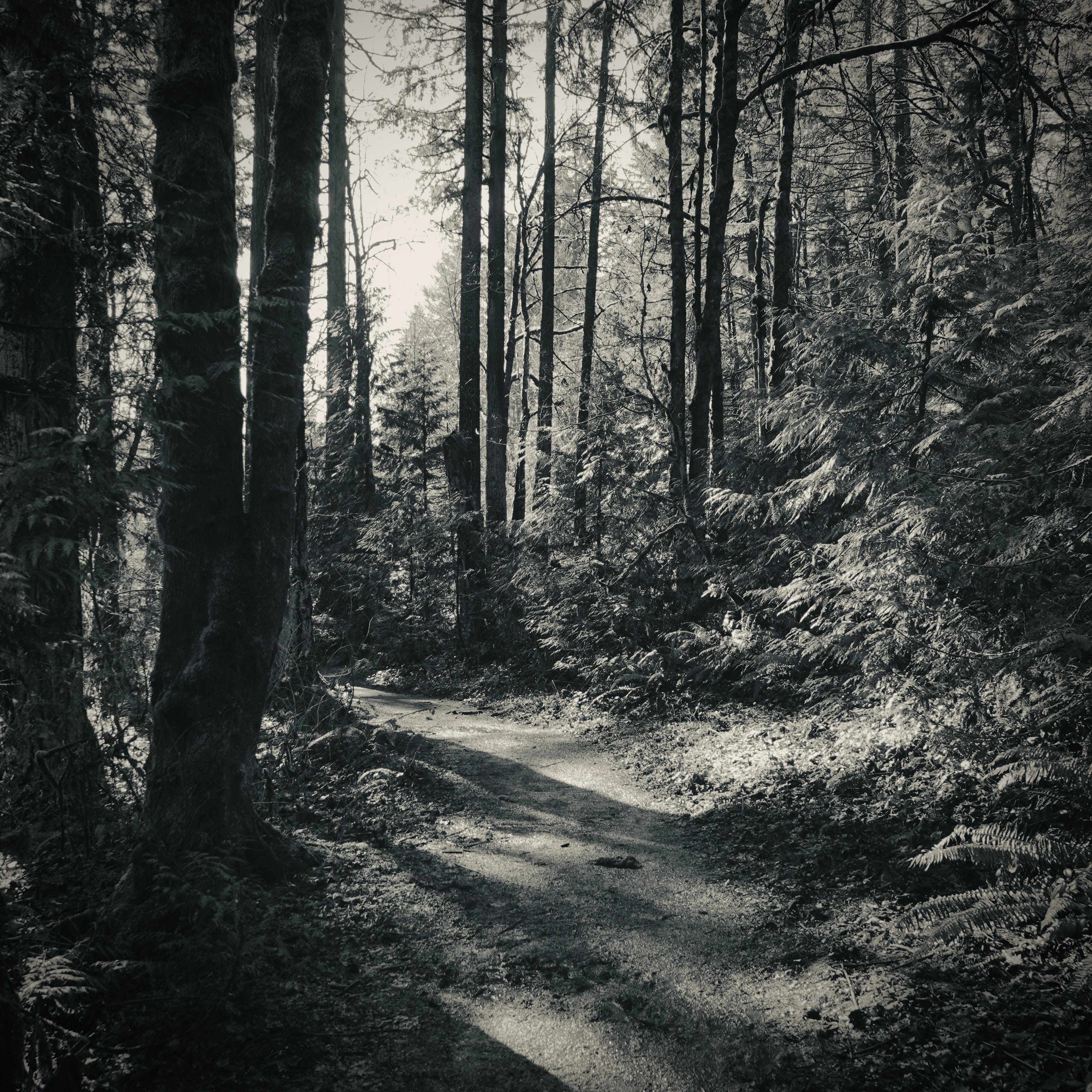
The Wildwood trail follows the Johnson Creek canyon out of Hoyt Arboretum.
Here we are spirited over W. Burnside on a the curvilinear and airy Barbara Walker Crossing. Barbara Walker did a lot for Portland natural areas, galvanizing an effort to conserve Marquam Nature Park, and reviving the concept of a network of trails first put forth by The Olmstead “40-mile Loop” plan of 1903, so it’s nice to see her name memorialized with this bridge.
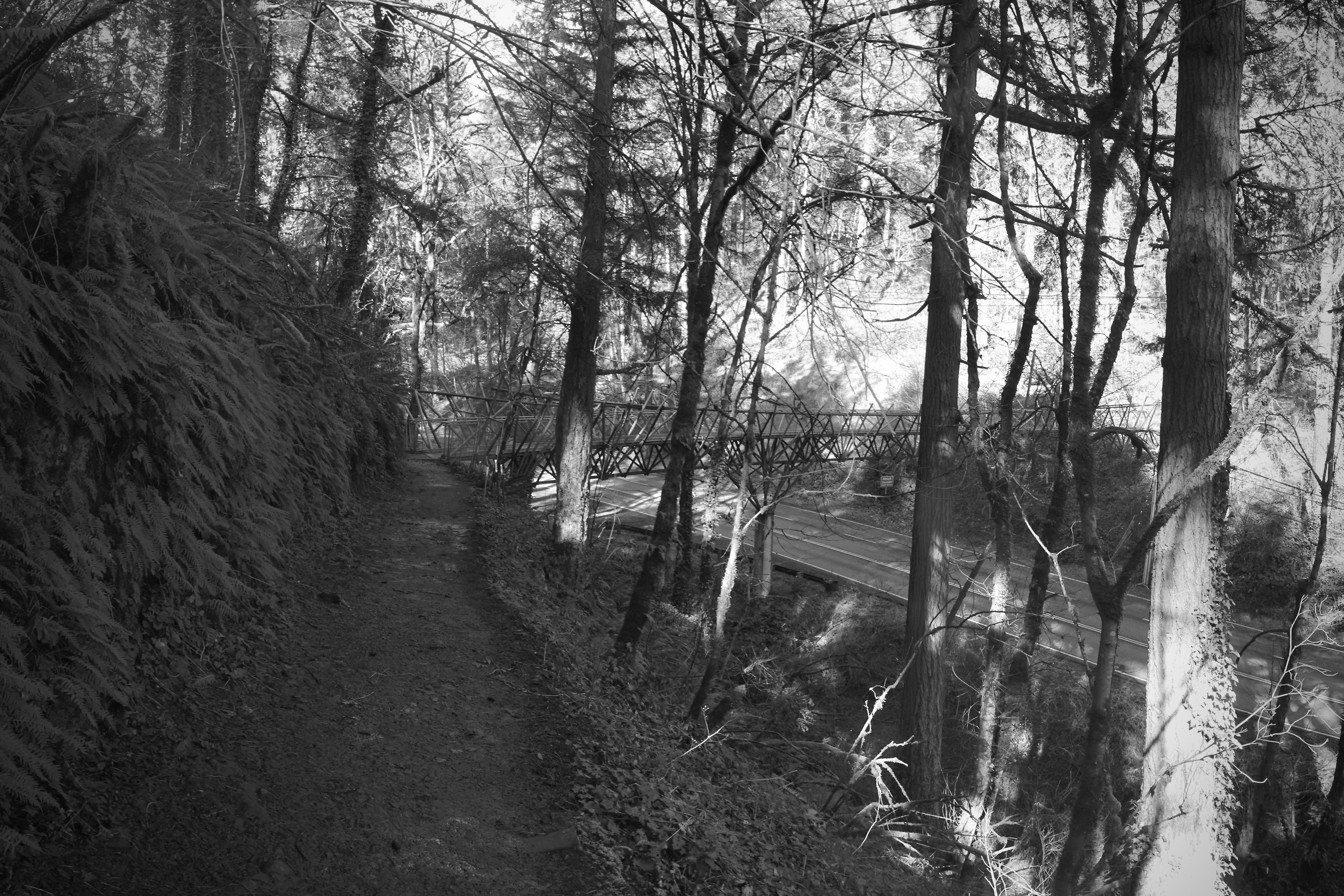
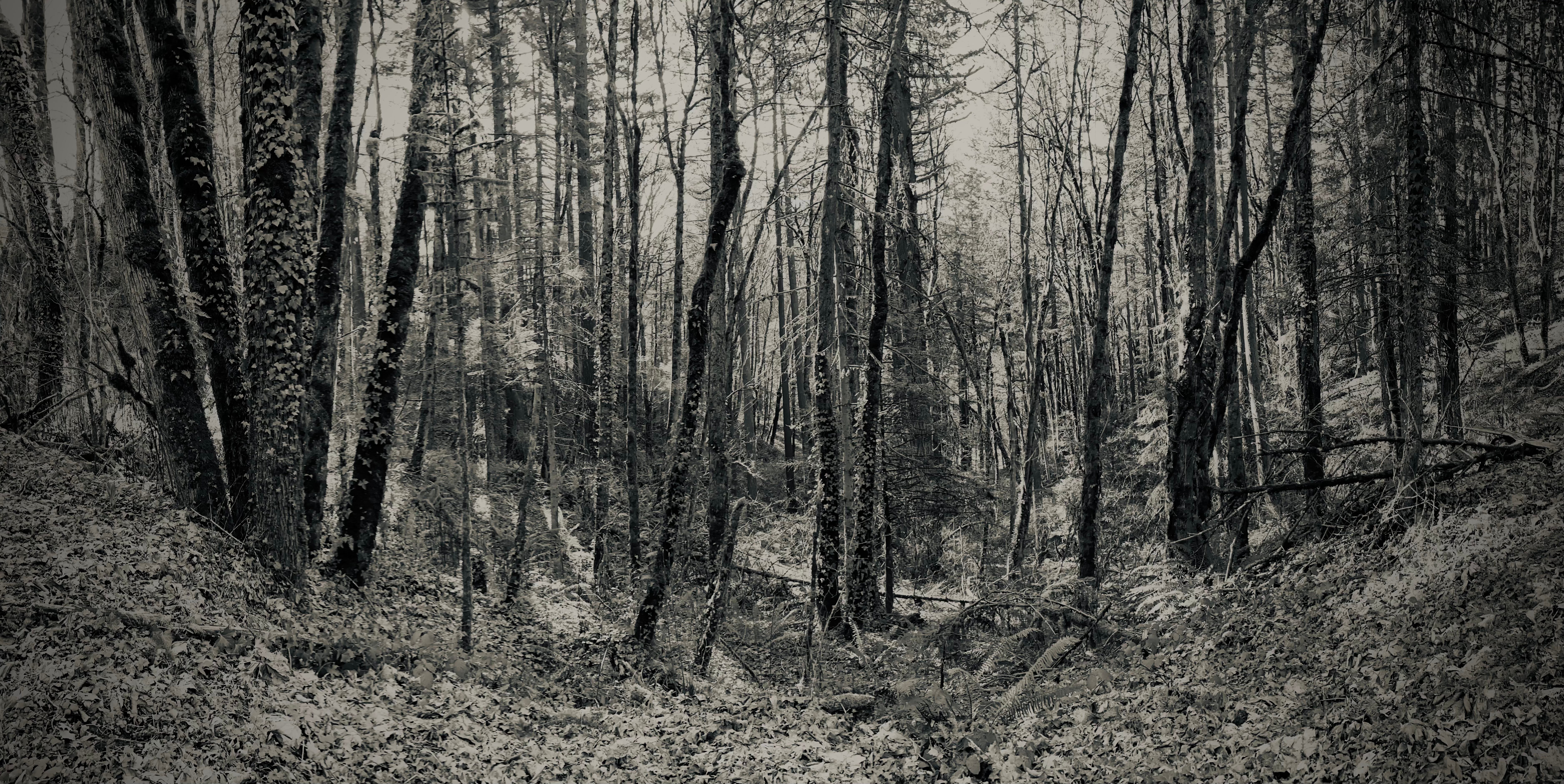
A long time ago there used to be a roadside pull-out here with a few parking spots, functioning as an informal trailhead. Cars often careen down this curved stretch. It’s much safer now. We cross over into Pittock Acres, a south-facing slope with a young stand of Alder and vigorous English Ivy.
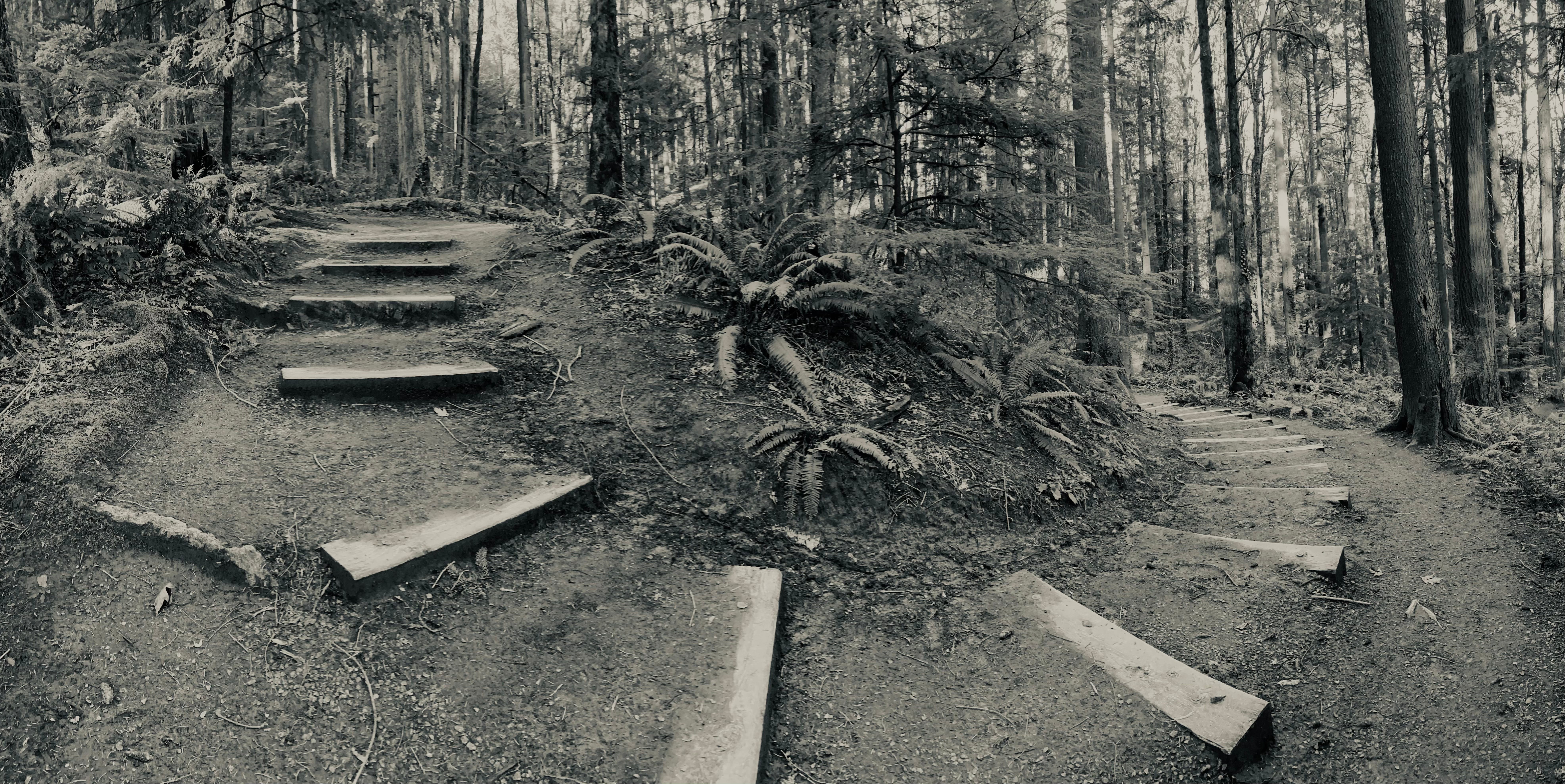
Up the hill we go.
Discovering along the way one of a few surviving wooden signs with stencilled lettering. Could it be 25 years old?
The late February morning sun casts a long shadow of the split rail fence.
Cresting the hill at 1000 ft. elevation, the high point of the entire Wildwood Trail, we come to the back lot of Pittock Mansion.

Pittock Mansion stands sentinel on the highest ridge of the Kings Heights neighborhood, overlooking downtown Portland. Completed in 1914, it was built as the private residence of Henry Pittock, publisher of The Oregonian and his wife, Georgiana. The couple lived in the mansion for only a few years before their deaths in 1918 and 1919. Their family continued to reside there until 1958.
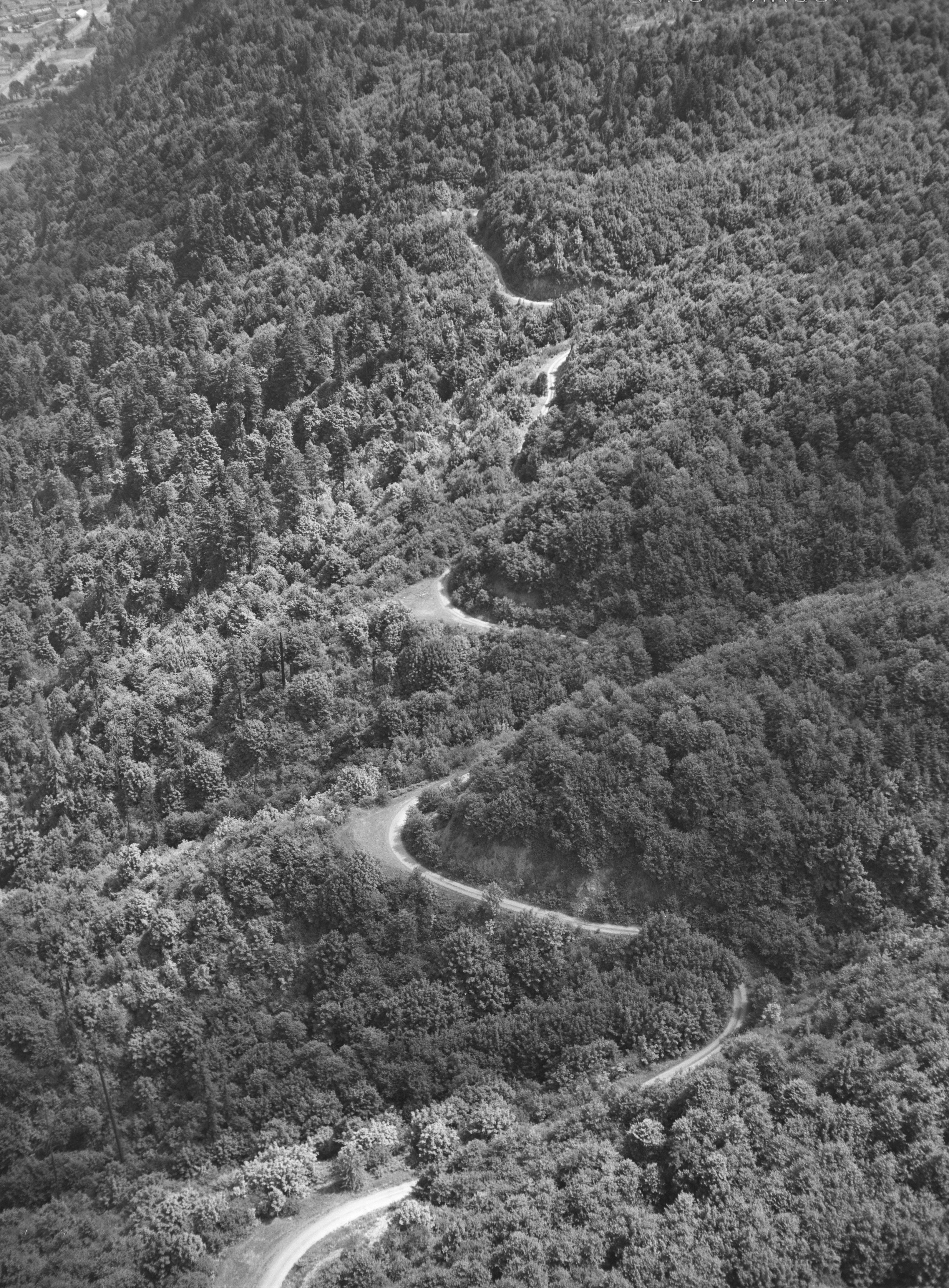
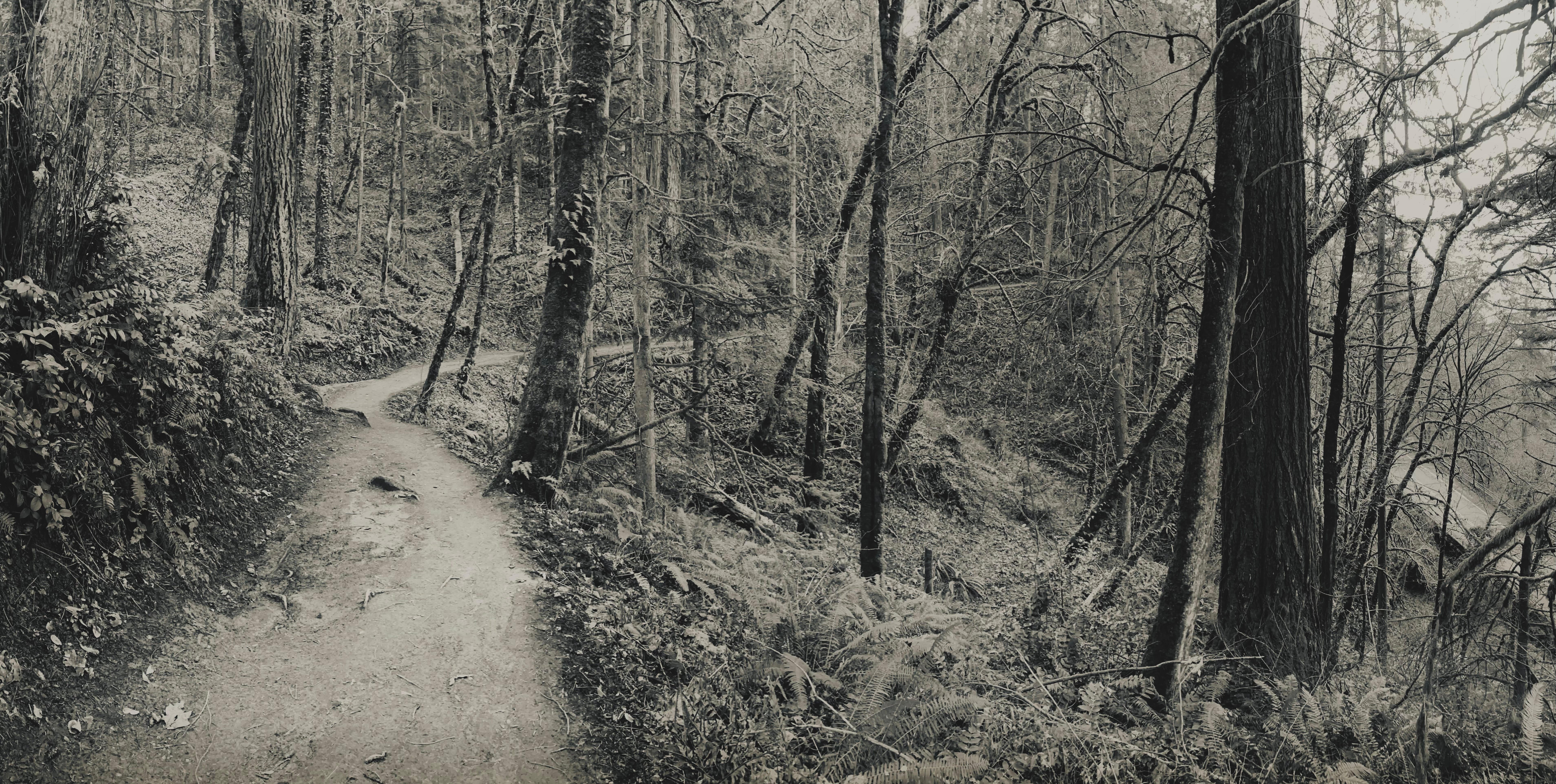
The steep northern slope requires switchbacks for the descent into Balch Creek Canyon.
Shaped by seeps and streams, the hillside has multiple concave topographical features. (We stop to listen to one such rivulet at 8:30.) The broad bowl-shape coupled with the colonnade of trees, gives the soundscape a lovely reverberant quality.
In the quiet hours, the strains of birdsong carry. In the busy hours it bubbles and pings with tones of human conversation.
Woodpeckers of all stripes seem to love this slope. Downy, Hairy, and Pileated. Red-breasted Sapsuckers and Northern Flickers too.
Wildwood Hill Soundwalk, released in 2022, captures the unique qualities of the soundscape here.
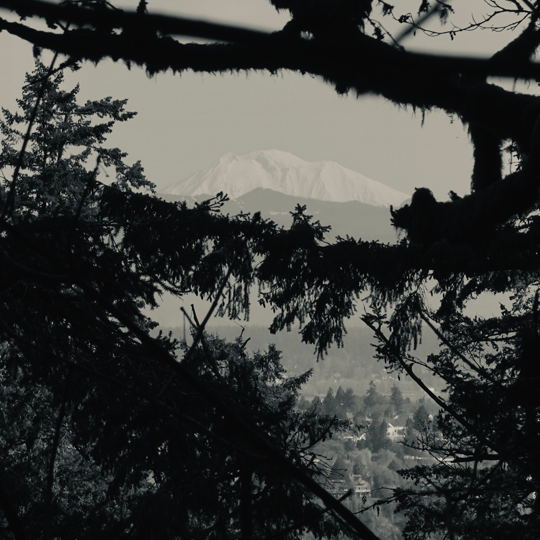
The light pours over the ridge and penetrates in bands.
The air is crisp. Breaks in the canopy reveal far-off vistas. Squinting through the branches we see Mount St. Helens again:
Cornell Rd. comes into view below.
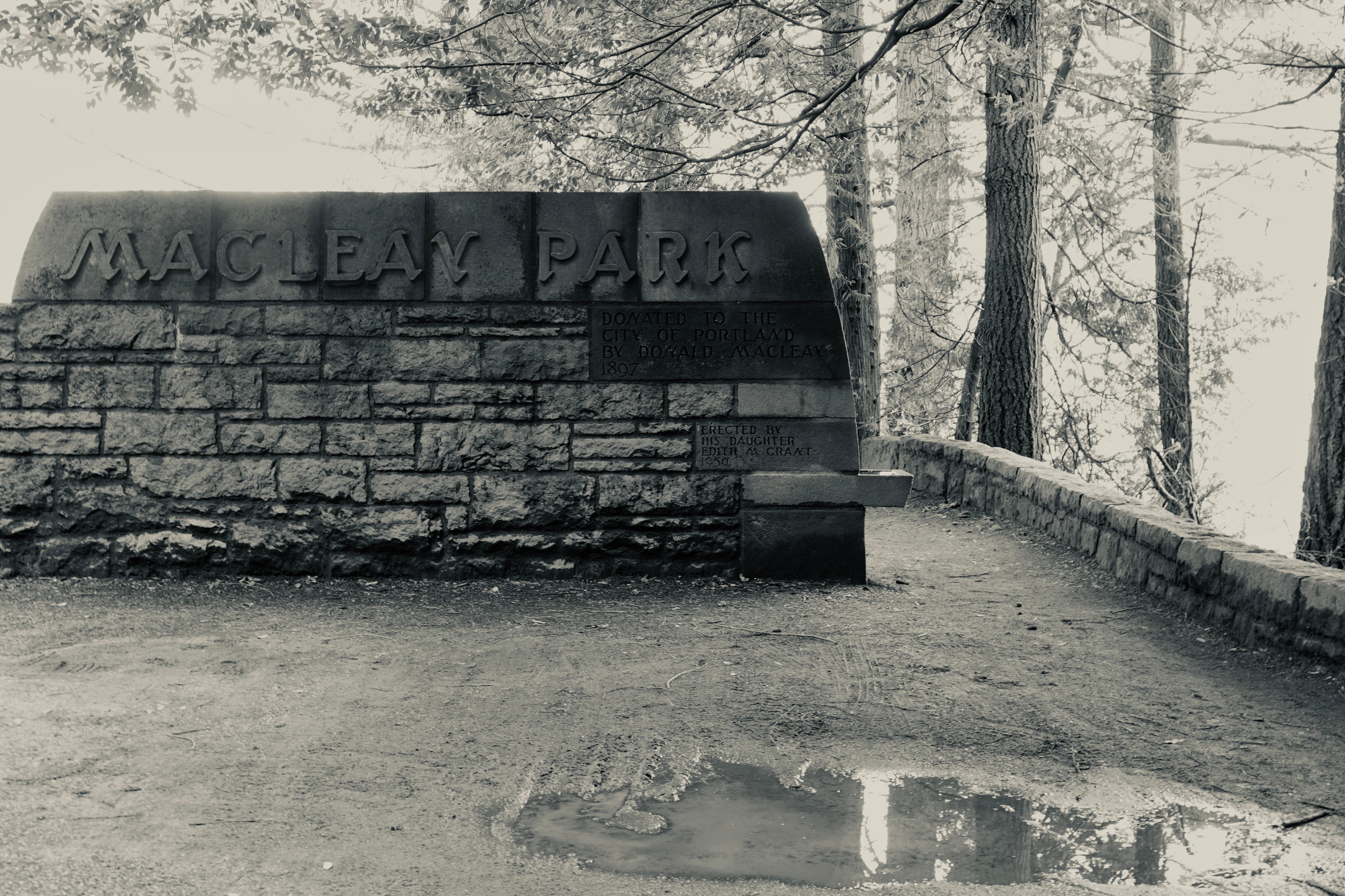
We cross the road at the Upper Macleay Park entrance, where a handsome midcentury stone wall welcomes visitors to the original nature park of Portland, dating back to 1898. More on Macleay Park in the next post.
We hear sizzle of tires in the tunnel. A Barred Owl calls out faintly. Over the bluff the sound of Balch creek roars to life (28:30).
Balch Creek Canyon is a wonderland. Its steep topography and early conservation prevented the logging of numerous heritage trees.
At the bottom we cross another new bridge.
Here we look down on the boulder-strewn Balch Creek coursing through the spillway of a small long-obsolete dam.
It’s a lively area, this watershed.
The trail follows the creek here, among Western Redcedars, Douglas-firs and a deciduous understory.
Past mossy-walled, maidenhair fern enclaves.
Past downed giants.

Arriving at the “Witch’s Castle”, a 1930’s restroom and shelter, now a canvas for so much lurid spraypaint. I wrote about it in one of my first Sound & Vision posts.
We’ll leave it there for now. Thanks for joining me. Tune in next week as we explore the history of this quarter of the park, in an attempt to uncover the origin of the name “Wildwood Trail”. Til then, happy trails to you.

Share this post