Before we start, feel free to press that play button above for the audio companion. There’s plenty of it to listen to (with or without absorbing the contents of this post, but it’s my hope that I it will enhance the narrative and images.)
The Wildwood Trail traverses Portland’s Forest Park. It runs 30 miles north-south. It’s a National Recreational Trail, and the longest trail—by far—within an urban nature park. If you’re moderately fit and into long hikes, it can be completed in a day. Some people make it a tradition of it. One man hikes it every winter solstice. Another, to commemorate a 50th birthday. One woman hiked it start-to-finish once every month, for a year. A blind man walked the trail in a two days. It calls to people.
I hiked the complete trail in a day in 1999. It was just a little bit shorter then; 27 miles to my recollection. The last section was completed some months later, and for the last 25 years it has been about 30 miles long. The precise number remains somewhat elusive, as it varies by source.
I decided a couple months back that I wanted to revisit the Wildwood Trail, taking pictures and recording binaural audio all the way along. Doing it in a single day, however, held little appeal for this purpose, so I split it into segments. I figured I’d just shift my morning walk routine over to Forest Park. In all, it took 9 trips to chain it all together, and because the trail largely keeps to the interior of the park, I put in well over twice the mileage to get from various remote trailheads to the specific trail sections, devising out-and-back trips or loops involving other trails to get me back to my point of origin. I figure I put in about 75 miles of hiking in total to do it this way.
All this yielded over 600 photos and 20 hours of audio after culls and edits. Oh, and one video:
Why & How
Why do this? It was half just for the heck of it, and half for the project-ness of it. Rarely do I go for a walk in the woods without my trusty recording hat and a camera anyway. It’s “my practice”. You never know what cool soundscape might be around the corner, or what the light will do, or what creature might reveal itself to you, so why not?
But, beyond that I wanted to try something with a larger scope, and this seemed to strike a comfortable balance between ambitious and achievable. I didn’t have any commercial aspirations, but I wasn’t ruling anything out either. For now I’m happy just sharing most of it as a trove in the Sound & Vision tradition. I don’t expect any one person to absorb all of it; rather, I’m happy to just put it out there like a trail of breadcrumbs, hopefully to be found, and stumbled across over time.
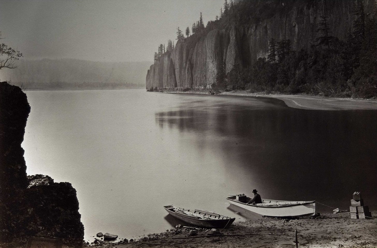
I’d recently become enamored with the work of Carlton Watkins, who photographed the Yosemite Valley in 1861 and The Columbia Gorge in the 1867 with a heavy, bulky “mammoth plate” camera. These photos are wonderfully tonal, and were instrumental in conservation efforts. Inspired by them, I was keen to see where monochrome photography might take me.
After all, I reasoned, hundreds of color images from the Wildwood Trail have been crowdsourced via popular trail guide apps, and they tend to be pretty decent images. (I use All Trails.) If nothing else, I thought the monochrome aesthetic would set my photos apart, while lending the romantic aura of a landscape unmolested by industry.
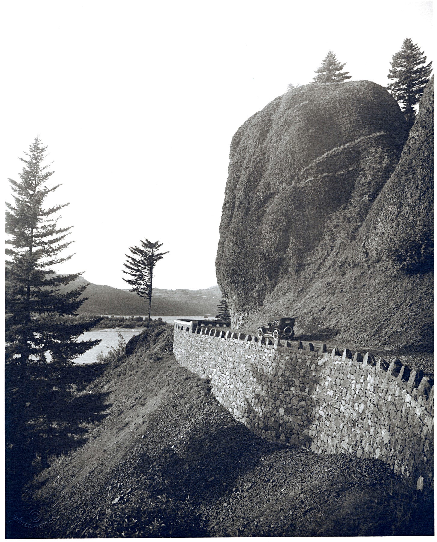
Additionally, I leaned into panoramic photography to capture the sweep of the trail. For this I was inspired by the early 20th century images from the Columbia Gorge Scenic Highway showcasing the elegant engineering of the highway as it traced the contours of the rugged landscape. These photos tended to be as much about the road as the landscape, offering a point of entry into the scene.
I went so far as to watch Youtube videos offering photography tips. All the panoramic photos shared in this post were taken as a series of single frames taken with my “big lens” camera, intelligently stitched together with desktop software (Affinity Photo). I found this workflow too time intensive and later judged that my old iPhone (11) made comparable panoramic images with a lot less fuss. Now you know too!
As for the audio capture—the binaural soundwalk recordings—similar decisions were made. I spliced and edited the audio to remove 95% of automobile, airplane, hiker, runner and other 20th century sounds. These are escapist treatments, and while I’m more receptive to the notion that noise is learned, I do think there is strong use-case for this edited work. I just don’t think people would stick around for all the airplane sound in particular (They come in waves over the park.)
In this series of posts I want to delve into the history of Forest Park and the Wildwood Trail, and take a look trail building, maintenance, culture, and some art that it inspires.
With that said, let’s get into the photos on the first leg of the journey.
Part 1: Washington Park to Barbara Walker Crossing
The trail begins near the Garden of Solace, the rising spiral path that forms the Vietnam Memorial in Washington Park. This is not officially part of the Wildwood Trail, but that is not made entirely clear given how the sign welcoming us to the Wildwood Trail seems to encourage walking in its direction.
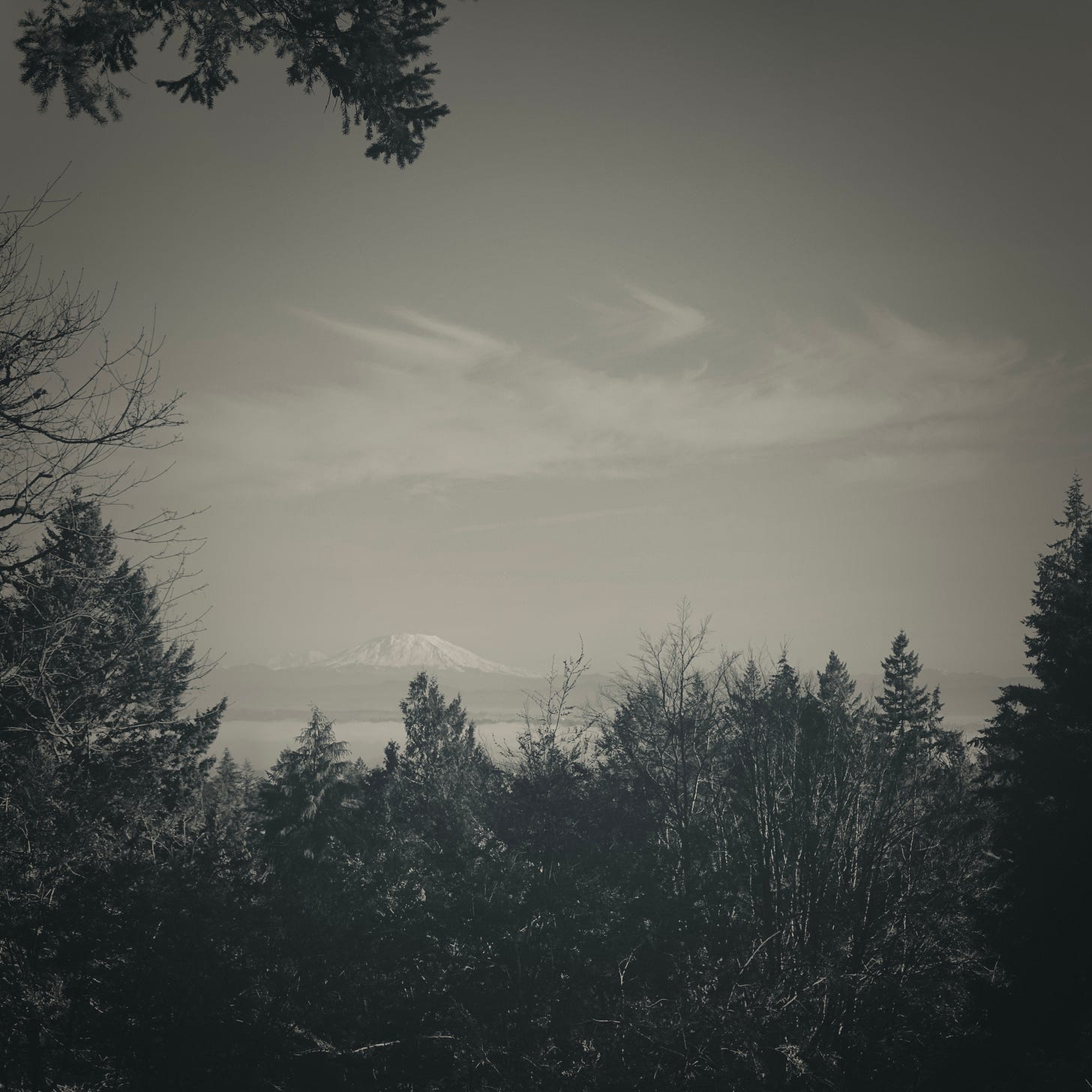
At the highest point of the Wildwood Trail in Washington Park, a break in the canopy affords a view of Mount St. Helens framed by the diversity of trees on Hoyt Arboretum’s north side.
Not long ago, before it erupted in 1980, Mount St. Helens was a nearly perfect cone. Speaking of panoramas, this one from 1929, taken downriver at Scappoose, Oregon captures Mounts St. Helens and Hood—Loowit and Wy’east in the native tongue—with a stunning evening alpenglow:
Following the eruption, St. Helens was left with a massive crater; its contents blasted to the north, devastating 230 square miles of forested lands. Still, it’s a wonder.
To the south, the hills roll down to Sylvan Canyon, the gulch cut through the Tualatin Mountains by Canyon Creek. Sunset Hwy (HWY26) climbs out of downtown Portland here, the dense traffic sounding like a distant river.
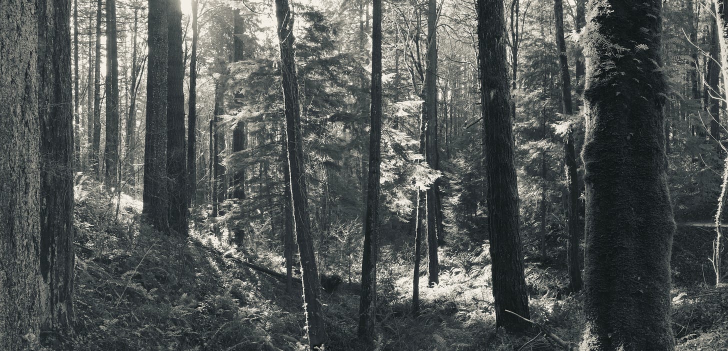
The trail traverses stands of Douglas-fir above the Oregon Zoo.
Oregon Grape thrives in the understory.
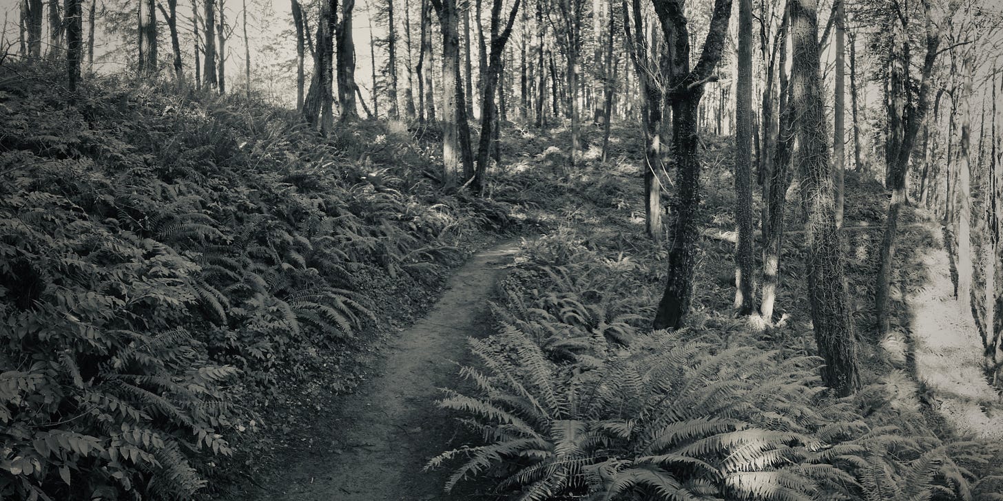
Giving way to swordfern in shadier hillsides.
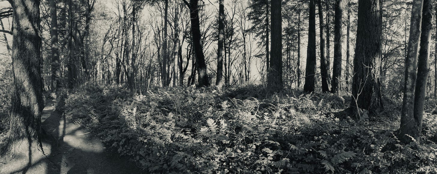
Old-growth survivors and second-growth alike are found here.
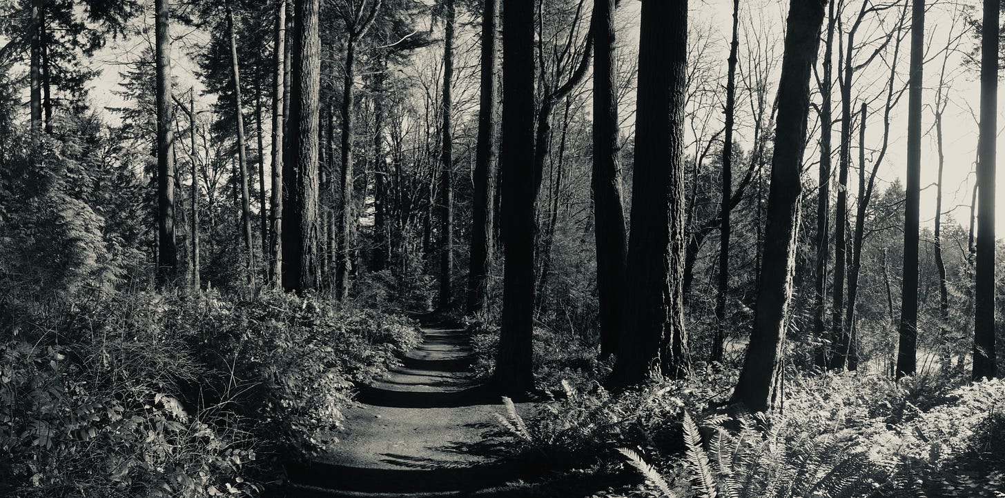
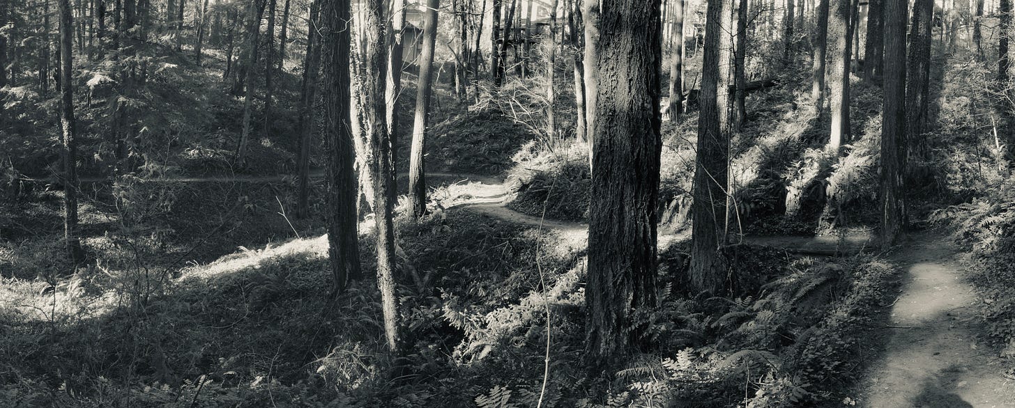
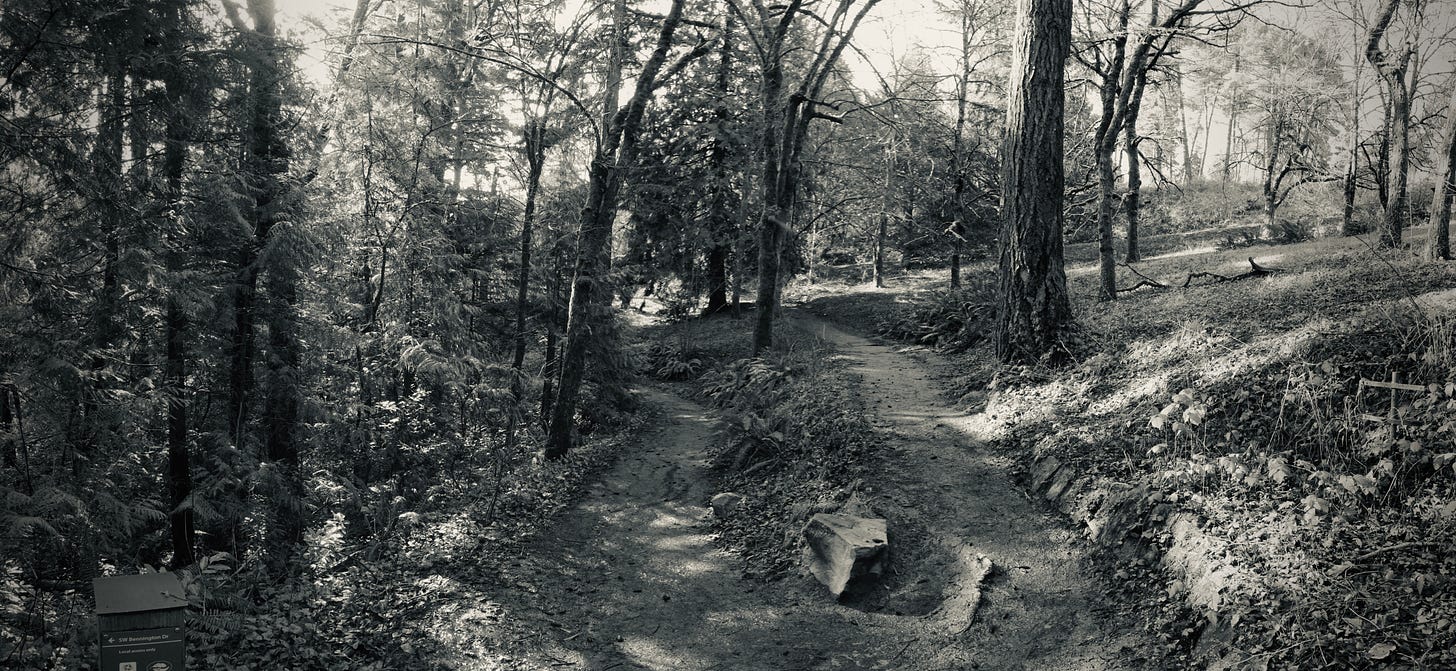
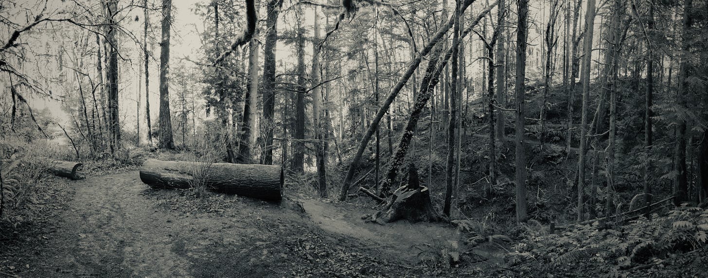
The trail follows the contour of these hills.
Windows into Portland Japanese Garden below appear in the winter canopy.
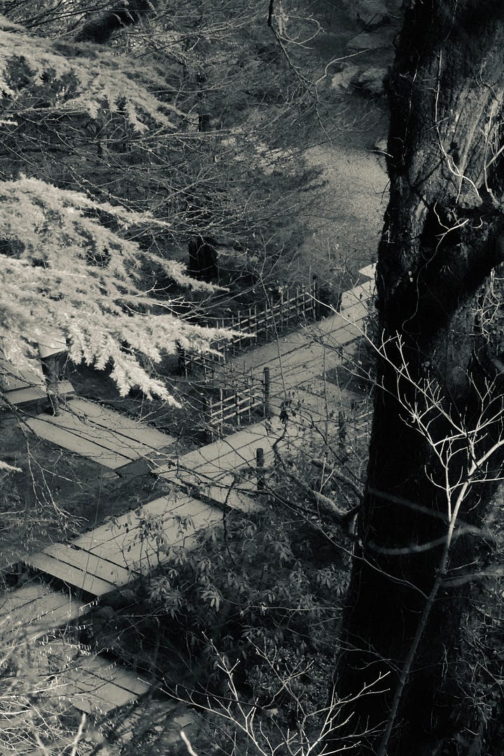
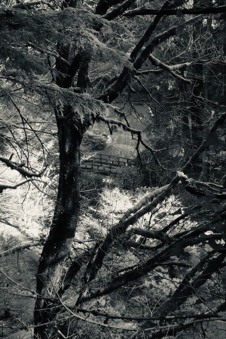
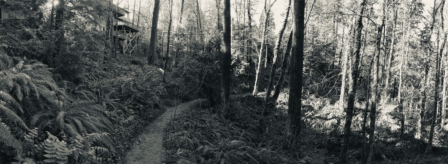
Residences back up to the trail greenway.
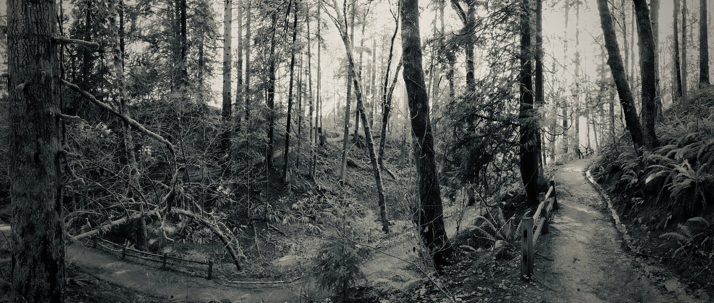
The hills of the Hoyt Arboretum introduce switchbacks and novel trees.
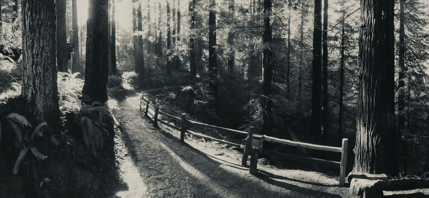
Soon we enter the Redwood Grove,
A lush, dark canyon with Coast Redwood trees planted in the early 1930’s.
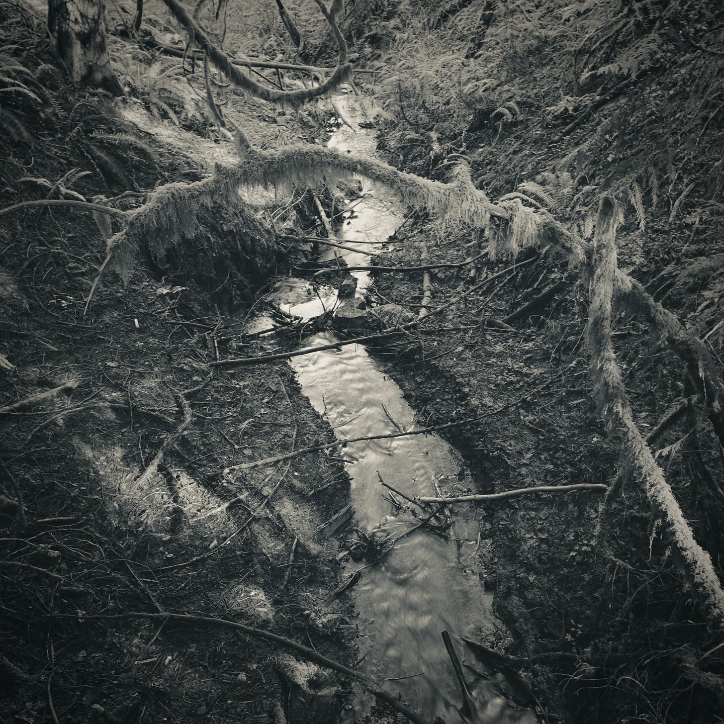
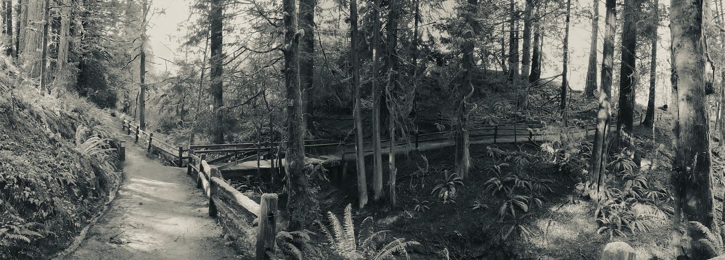
Down to Johnson Creek we go (Not to be confused with the larger East Portland Johnson Creek).
A lovely, sounding creek.
Where trails meet.
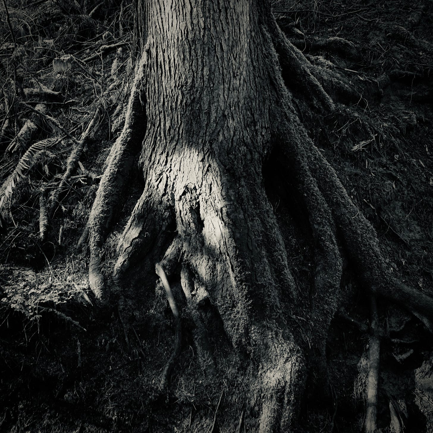
And roots reach down.
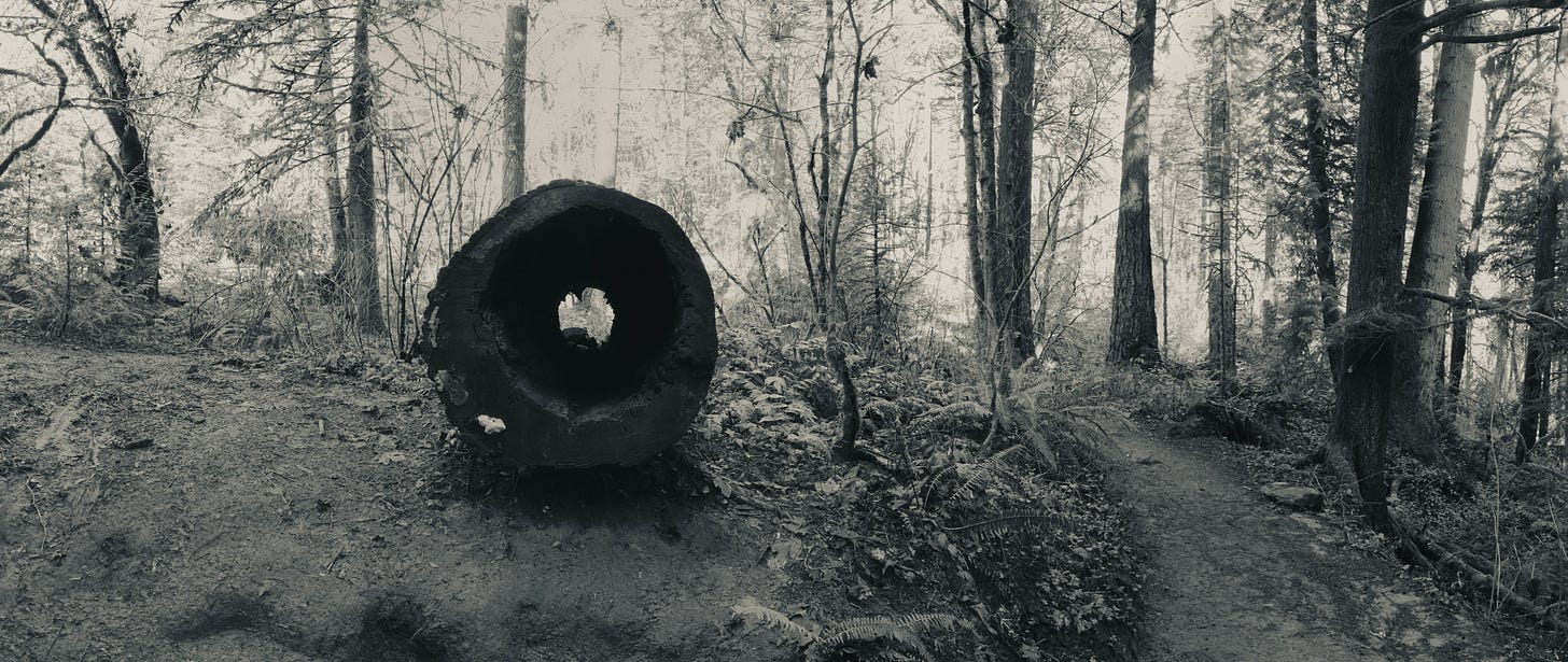
Past the hollow log that kids love to look through.
And climb over.
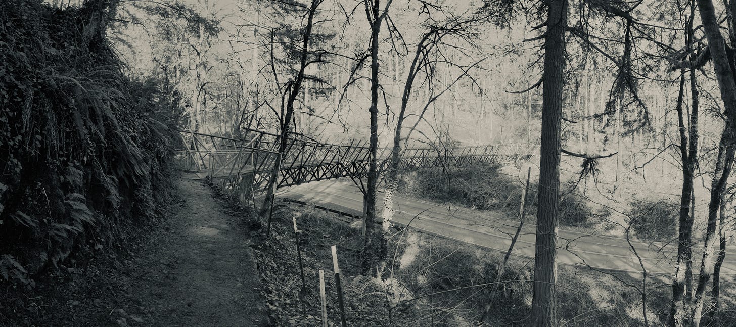
Down to Barbara Walker Crossing. Dedicated in 2019, this bridge offers safe passage over the busy W. Burnside Ave.
That’s it for this week on the Wildwood Trail. Thanks for coming along! I hope you’ll join me again next week.












Share this post